MSc Projects
MSc projects are primarily offered to Master students who are attending the 3rd semester of the Environmental Engineering curriculum and have chosen the Water Resources Management major. Students from other curricula and/or universities can also apply for a MSc project but are kindly requested to contact first the responsible. A MSc project consists of a 300 hours autonomous work to be carried out within the semester. For interested students, it is - depending on the topic - possible to use the results of their MSc project as basis for their MSc thesis.
Currently offered topics
Students are encouraged to propose MSc project topics of their own interest. The list below offers a variety of fields where we are currently conducting research. Feel free to contact the people listed to learn more about possible topics.
Also check the list with our currerntly available MSc Thesis topics. This can give you an idea of possible topics and fields, which can be adapted to fit a MSc project.
Whether you have already a very specific plan or just a vague idea for a project in hydrology or water resources management, you can always contact the assistants. We will help you finding the right supervisors.
WaldLab

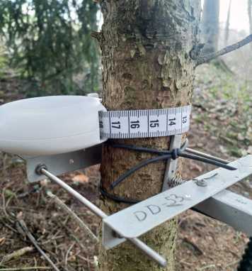
At the WaldLab, a forest field site near ETH Hönggerberg, we measure water, mass and energy fluxes across the soil-plant-atmosphere continuum. Projects within this framework can take different directions. The field site's close location offers the opportunity to make measurement campaigns at a high resolution even for manual measurements. Projects focusing on measurements will involve collection and evaluation of data of different water, mass and energy fluxes. Alternatively, observed data can be used for ecohydrological model evaluation. These projects will use different data sources for model setup and evaluation.
Contact & Info

TiRiLab (Ticino Rivers Lab) is a collaborative project between IfU and VAW at ETH Zürich and the Canton Tessin. Projects within the TiRiLab framework offer students the opportunity to work on river case studies in Ticino and gain experience in practical problem solving and hands-on practice with the simulation tool BASEMENT applied to the problem of hydromorphological assessment of Alpine rivers and their ecosystem services.
Contact & Info

High resolution digital elevation models (DEMs) allow the computation of a number of important metrics for any catchment. In the GIS in hydrology project topics you will use the Matlab TopoToolbox to analyse geomorphic connectivity indexes, compute energy dissipation metrics along river networks, analyse hillslope-channel transition points, compare these metrics between basins, and argue for possible consequences on runoff distributions. These will be topics that perfect your GIS and Matlab skills.
Contact
Further information
Official documents (e.g. program regulations) can be downloaded from the websites of the study programs:
Civil Engineering
Environmental Engineering
You have to deliver 2 bundled hardcopies (1 for the supervisor and 1 for the archive) and a digital version. If you have several supervisors, please deliver additional hardcopies of your thesis; each supervisor should receive one.