Alpine Rhine S2S
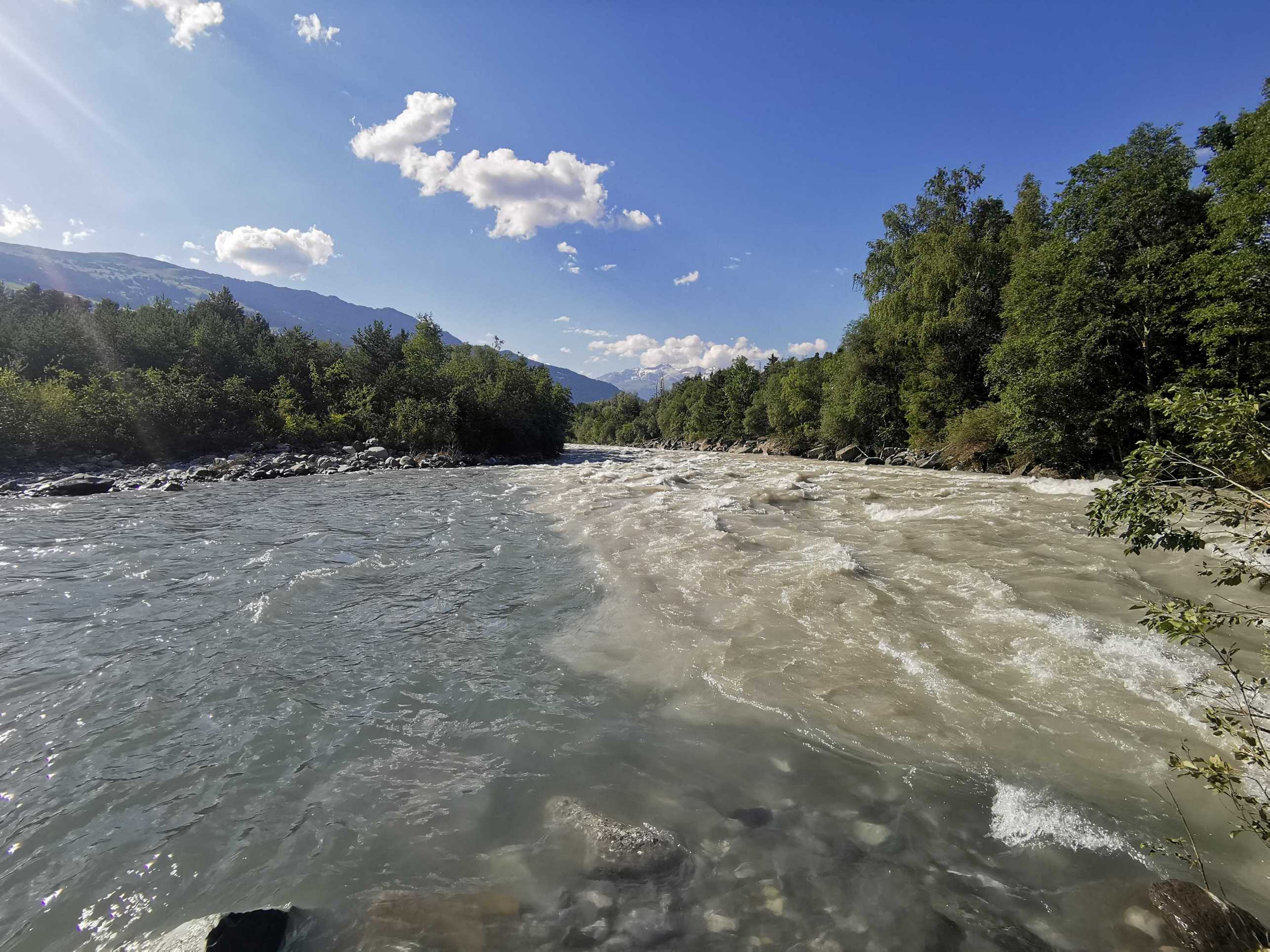
The Alpine Rhine S2S (source to sink) project researches sediment budgets in the main sediment factory in eastern Switzerland.
This project was funded by SNSF to Prof. Molnar shortly before the retirement of Prof. Burlando. Further information about the ongoing project can be found here.
River basins integrate water and sediment fluxes, along pathways, from sources to sinks. Climatic forcing (e.g. precipitation and air temperature) interacts with the land surface and sub-surface (topography, vegetation, soil, geology) to produce surface runoff on hillslopes and in channels. Sediment is eroded from the surface by overland flow, but also by mass movements triggered by rainfall or snowmelt, and transported downstream. Sediment sources are often very localized (so-called hotspots) and mix as they are transported downstream. This results in very complex hydrology-sediment interactions which make predictions of water and sediment fluxes difficult.
In short, the project aims to provide new theoretical, methodological, and observational insights into the operation of such systems. We aim to build a physics-based hydrogeomorphological approach to analyze sediment pathways and history in the Alpine Rhine, which combines
- distributed mechanistic hydrological-sediment modeling
- sediment sources and connectivity geomorphological mapping
- deep learning and physically-based methods for sediment flux prediction
- geological and geomorphological field observations
The project aims to answer questions such as
- Where are the main sediment sources in the Alpine Rhine, the so-called hotspots of erosion, of fine and coarse sediment?
- How and when are these sources activated, is it rainfall or also other hydrological processes that trigger sediment production?
- Can we trace sediment within the geomorphic system, from hillslopes to channels, based on measured sediment properties?
- Can we predict the sediment yields with models, thereby understand the propagation of human and climate change signals?

This project "Hydrogeomorphological Prediction of Source to Sink Sediment Pathways in the Alpine Rhine" is funded by the Swiss National Science Foundation